
Country France Department Aude Intercommunality Canton d'Axat Area 6.38 km² Arrondissement Limoux | Region Occitanie Canton Axat Population (2010) 83 Local time Saturday 6:43 PM | |
 | ||
Weather 9°C, Wind S at 5 km/h, 44% Humidity | ||
Artigues aude
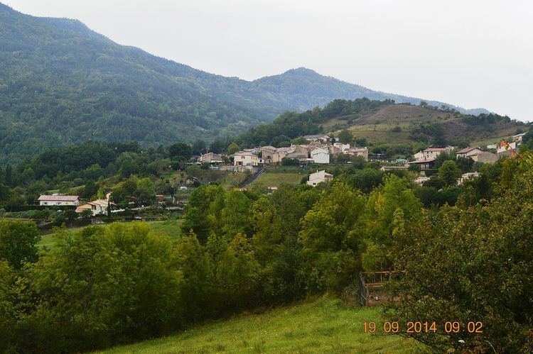
Artigues is a French commune in the Aude department in the Occitanie region of southern France.
Contents
- Artigues aude
- Map of 11140 Artigues France
- Geography
- Administration
- Demography
- Sites and monuments
- References
Map of 11140 Artigues, France
The inhabitants of the commune are known as Artiguais or Artiguaises.
Geography
Artigues is located some 10 km south by south-east of Quillan and 2 km west of Axat. Access to the commune is by the D83 road from Axat in the east passing through the village and continuing west then south by a tortuous route to Le Clat. The commune is rugged and heavily forested but with a little farming activity near the village.
The Aude River forms the south-eastern border of the commune as it flows north. The Ruisseau de l'Esteille rises in the south of the commune and flows east to join the Aude east of the commune. The Ruisseau de la Fage rises in the south of the commune and flows north to join the Ruisseau d'Artigues just south of the village which flows east to join the Aude.
Administration
List of Successive Mayors
(Not all data is known)
Demography
In 2010 the commune had 83 inhabitants. The evolution of the number of inhabitants is known from the population censuses conducted in the commune since 1793. From the 21st century, a census of communes with fewer than 10,000 inhabitants is held every five years, unlike larger towns that have a sample survey every year.
Sources : Ldh/EHESS/Cassini until 1962, INSEE database from 1968 (population without double counting and municipal population from 2006)