North (Mount Dewar) West (Ben Lomond) East Dalefield | ||
 | ||
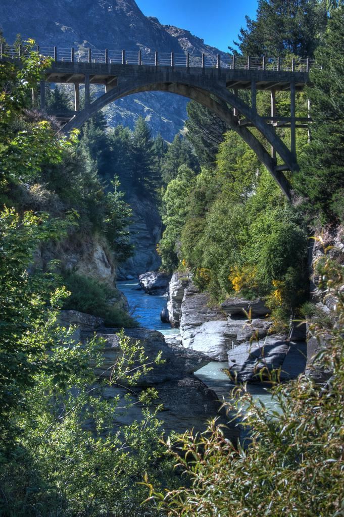
Arthurs Point is a suburb of Queenstown in the South Island of New Zealand. It is situated near Queenstown Hill and Bowen Peak and is not far from central Queenstown. Another distinctive aspect for the area is that the Shotover Jet company operates jetboats on the Shotover River which passes under the Edith Cavell bridge.
Contents
Map of Arthurs Point 9371, New Zealand
History
Arthurs Point was named after Thomas Arthur who, in November 1862, discovered gold in the banks of the nearby Shotover River.
Tracks
Arthurs Point has access to the moonlight track, a long walking/running track which gives access to Ben Lomond and Moke Lake. The short Oxenbridge Tunnel Track can also be accessed from near the Edith Cavell bridge and displays some of the mining history of the area.
References
Arthurs Point Wikipedia(Text) CC BY-SA
