
Country United States FIPS code 19-03115 Area 39 ha Zip code 51431 Local time Saturday 7:58 AM | Time zone Central (CST) (UTC-6) GNIS feature ID 0454245 Elevation 394 m Population 208 (2013) Area code 712 | |
 | ||
Weather -11°C, Wind NW at 10 km/h, 87% Humidity | ||
Avail phosphorus fertilizer enhancer testimonial eric arthur iowa
Arthur is a city in Ida County, Iowa, United States. The population was 206 at the 2010 census.
Contents
- Avail phosphorus fertilizer enhancer testimonial eric arthur iowa
- Map of Arthur IA 51431 USA
- Heartbeat remedy drive arthur iowa
- History
- Geography
- 2010 census
- 2000 census
- References
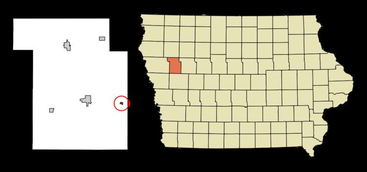
Map of Arthur, IA 51431, USA
Heartbeat remedy drive arthur iowa
History
Arthur was platted in 1885. It was named for Chester A. Arthur, 21st President of the United States.
Geography
Arthur is located at 42°20′7″N 95°20′48″W (42.335225, -95.346658).
According to the United States Census Bureau, the city has a total area of 0.15 square miles (0.39 km2), all of it land.
2010 census
As of the census of 2010, there were 206 people, 95 households, and 60 families residing in the city. The population density was 1,373.3 inhabitants per square mile (530.2/km2). There were 113 housing units at an average density of 753.3 per square mile (290.9/km2). The racial makeup of the city was 98.1% White, 0.5% African American, and 1.5% from other races. Hispanic or Latino of any race were 1.5% of the population.
There were 95 households of which 24.2% had children under the age of 18 living with them, 48.4% were married couples living together, 7.4% had a female householder with no husband present, 7.4% had a male householder with no wife present, and 36.8% were non-families. 31.6% of all households were made up of individuals and 21% had someone living alone who was 65 years of age or older. The average household size was 2.17 and the average family size was 2.68.
The median age in the city was 47.5 years. 20.9% of residents were under the age of 18; 4.9% were between the ages of 18 and 24; 21.4% were from 25 to 44; 31.1% were from 45 to 64; and 21.8% were 65 years of age or older. The gender makeup of the city was 48.5% male and 51.5% female.
2000 census
As of the census of 2000, there were 245 people, 112 households, and 62 families residing in the city. The population density was 1,600.1 people per square mile (630.6/km²). There were 117 housing units at an average density of 764.1 per square mile (301.2/km²). The racial makeup of the city was 100.00% White.
There were 112 households out of which 27.7% had children under the age of 18 living with them, 49.1% were married couples living together, 3.6% had a female householder with no husband present, and 44.6% were non-families. 42.9% of all households were made up of individuals and 29.5% had someone living alone who was 65 years of age or older. The average household size was 2.19 and the average family size was 3.08.
In the city, the population was spread out with 26.5% under the age of 18, 7.3% from 18 to 24, 24.5% from 25 to 44, 17.6% from 45 to 64, and 24.1% who were 65 years of age or older. The median age was 41 years. For every 100 females there were 81.5 males. For every 100 females age 18 and over, there were 81.8 males.
The median income for a household in the city was $25,833, and the median income for a family was $36,250. Males had a median income of $28,750 versus $17,500 for females. The per capita income for the city was $14,007. About 4.7% of families and 8.0% of the population were below the poverty line, including 6.7% of those under the age of eighteen and 10.2% of those sixty five or over.