
Country Ukraine Founded 1930 Time zone EET (UTC+2) Local time Saturday 1:18 PM | Province Luhansk Oblast Elevation 43 m (141 ft) Area 175 ha | |
 | ||
District Stanytsia-Luhanska Raion Weather 6°C, Wind W at 18 km/h, 86% Humidity | ||
Artema (Ukrainian: Артема; Russian: Артёма) is a village in Stanytsia-Luhanska Raion (district) in Luhansk Oblast of eastern Ukraine, situated at about 50 km north from the centre of Luhansk city, on the right bank of the Siverskyi Donets.
Contents
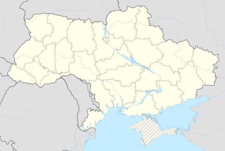
Map of Artema, Luhansk Oblast, Ukraine
Siverskyi Donets has served as a natural separation line between the warring parties during the War in Donbass. A 15 minutes clash between governmental and pro-Russian forces, that took place near the village on 12 September 2016, at around 4:00 pm, resulted in two Ukrainian soldiers killed, five others wounded, and one unaccounted for in action. Later on the missing serviceman was accounted.
Demographics
Native language as of the Ukrainian Census of 2001:
References
Artema, Stanytsia-Luhanska Raion Wikipedia(Text) CC BY-SA