
Area code(s) +53-7 Area 83 km² | Time zone EST (UTC-5) Elevation 85 m Local time Wednesday 8:23 PM | |
 | ||
Wards (Consejos Populares) Callejas, Calvario-Fraternidad, Eléctrico, Guinera, Los Pinos, Managua, Mantilla, Párraga, Poey, Víbora Park Weather 24°C, Wind S at 2 km/h, 75% Humidity | ||
Arroyo Naranjo is one of the 15 municipalities or boroughs (municipios in Spanish) in the city of Havana, Cuba. It became part of Havana city while the capital grew.
Contents
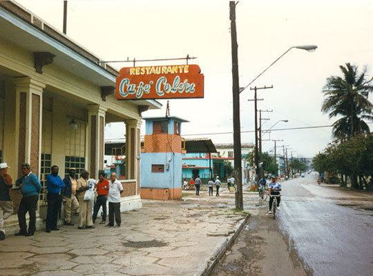
Map of Arroyo Naranjo, Cuba
History
The borough was founded in 1845, and by 1848 its party was created. Arroyo Naranjo is situated 11 kilometers (6.8 mi) south of Old Havana on the Havana-Las Vegas highway, having been a stop of buses that were doing the service between these two cities. In 1858 Arroyo Naranjo had 291 inhabitants, who were increasing in the period of the baths, for the proximity to the medicinal waters known by the Cacahual. Arroyo Naranjo had always a progressive population. From 291 inhabitants of 1858, in 1871 the town had 1,485.
In 1939, famed painter Carlos Enriquez bought a small ranch house in Arroyo Naranjo, dubbed "El Huron Azul" (the Blue Ferret), which became a meeting-place for Cuba's avant-garde artists, and is now a museum dedicated to Enriquez' work.
Demographics
In 2004, the municipality of Arroyo Naranjo had a population of 210,053. With a total area of 83 km2 (32 sq mi), it has a population density of 2,530.8/km2 (6,555/sq mi).