
Country Brazil Lowest elevation 69 m (226 ft) Area 130.8 km² | Highest elevation 485 m (1,591 ft) Neighbourhoods 1 | |
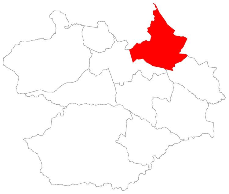 | ||
Arroio Grande ("big rivulet") is a district of the municipality of Santa Maria, in the Brazilian state of Rio Grande do Sul. It is situated in the north portion of Santa Maria. The district's seat is located 18 km (11,18 miles) from Downtown Santa Maria. The district is known as the portal to Fourth Colony of Italian Immigration.
Contents
The district of Arroio Grande owns an area of 130.71 km² that is equivalent to 7.30% of the municipality of Santa Maria that is 1791.65 km².
History
The district was created in 1988 by municipal law 3099/88 of 1988.
Limits
The district limits with the districts of Palma and Sede, and, with the municipalities of Silveira Martins, Julio de Castilhos e Itaára.
Neighbourhoods
The district of Arroio Grande is divided in the following bairros, that in English is equivalent to neighbourhoods: