
Population (2010) 364 Local time Thursday 12:26 AM | Area 4.23 km² | |
 | ||
Weather 8°C, Wind W at 18 km/h, 76% Humidity | ||
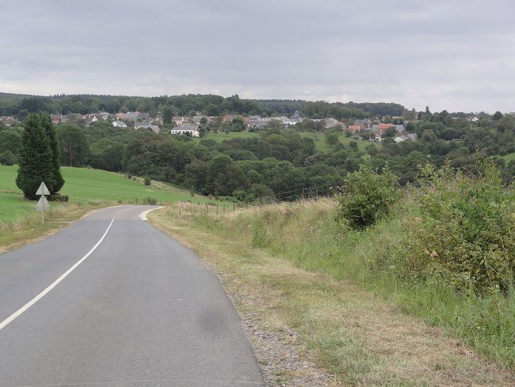
Arreux is a French commune in the Ardennes department in the Grand Est region of northern France.
Contents
Map of 08090 Arreux, France
The inhabitants of the commune are known as Cabres
The commune has been awarded one flower by the National Council of Towns and Villages in Bloom in the Competition of cities and villages in Bloom.
Geography
Arreux is located in a hilly area on the edge of The Ardennes some 9 km north-west of Charleville-Mézières and 3 km east by south-east of Renwez. Access to the commune is by road D22 from Montcornet in the west passing through the village and continuing east to Nouzonville. The D22 also forms the south-eastern border of the commune. Some two thirds of the commune is heavily forested - especially in the east, with some farmland around the village.
The Ruisseau du Fond d'Arreux forms the north eastern and north-western border of the commune as it flows around the commune and then away to the south-west. A stream rises south of the village and flows north to join the Ruisseau du Fond d'Arreux.
Toponymy
According to Ernest Nègre the name Arreux comes from aridus meaning "arid".
Administration
List of Successive Mayors
(Not all data is known)
Demography
In 2010 the commune had 364 inhabitants. The evolution of the number of inhabitants is known from the population censuses conducted in the commune since 1793. From the 21st century, a census of communes with fewer than 10,000 inhabitants is held every five years, unlike larger towns that have a sample survey every year.
Sources : Ldh/EHESS/Cassini until 1962, INSEE database from 1968 (population without double counting and municipal population from 2006)