
Department Aisne Area 5.57 km² | Intercommunality Pays de Laon Local time Thursday 12:04 AM | |
 | ||
Weather 9°C, Wind W at 26 km/h, 81% Humidity | ||
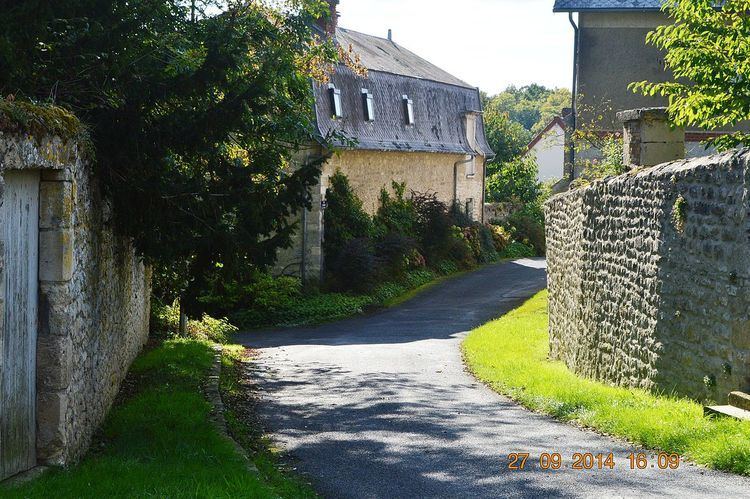
Arrancy is a French commune in the department of Aisne in the Hauts-de-France region of northern France.
Contents
- Map of 02860 Arrancy France
- Geography
- Administration
- Demography
- Civil heritage
- Religious heritage
- Notable People linked to the commune
- References
Map of 02860 Arrancy, France
Geography
Arrancy is located some 15 km south-east of Laon and 40 km north-west of Reims. It can be accessed by the D1044 road from Festieux in the north which passes down the eastern edge of the commune and continues south to Corbeny. The village is accessed by the D88 which runs west from the D1044 to the village then continues west to Ployart-et-Vaurseine. There are also some country roads which access the commune. The commune is mixed farmland and forest with no other hamlets or villages other than Arrancy.
La Bièvre stream rises north-east of the village and flows south-west to the south of the village then west into the Ailette Lake.
Administration
List of Successive Mayors of Arrancy
(Not all data is known)
Demography
In 2010 the commune had 50 inhabitants. The evolution of the number of inhabitants is known through the population censuses conducted in the town since 1793. From the 21st century, a census of municipalities with fewer than 10,000 inhabitants is held every five years, unlike larger towns that have a sample survey every year.
Sources : Ldh/EHESS/Cassini until 1962, INSEE database from 1968 (population without double counting and municipal population from 2006)
Civil heritage
The commune has two buildings and structures that are registered as historical monuments:
Religious heritage
The Church of Saint-Rémi contains many items that are registered as historical objects: