
Time zone ETZ (UTC-5) Local time Wednesday 6:02 PM | Area 170 km² | |
 | ||
Weather 29°C, Wind N at 34 km/h, 64% Humidity Points of interest Panama Canal, Gatun Lake, Bridge of the Americas | ||
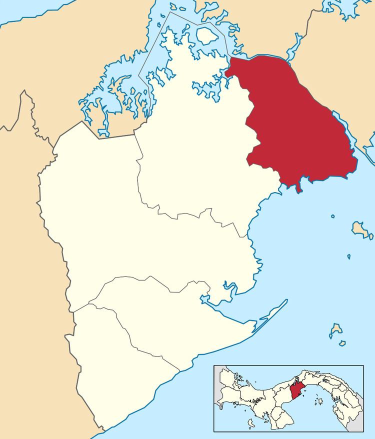
Arraiján District is a district (distrito) of West Panamá Province in Panama. The territory lies west of the Panama Canal bordering Panama City. The population according to the 2000 census was 149,918, with a large number of suburban communities for commuting workers of Panama City. The district covers a total area of 170 km². The district seat is Arraiján city.
Contents
Map of Arraij%C3%A1n, Panama
Administrative divisions
The district is divided administratively into the following corregimientos:
Arraiján (district seat), Juan Demóstenes Arosemena, Nuevo Emperador, Santa Clara, Veracruz, Vista Alegre, Burunga and Cerro Silvestre.
Education
The Lycée français Paul Gauguin de Panama, a French international school, is in Panama Pacifico in Veracruz.
References
Arraiján District Wikipedia(Text) CC BY-SA