
Canton Bénévent-l'Abbaye Area 22.56 km² | Intercommunality Bénévent-Grand-Bourg Local time Thursday 2:33 AM | |
 | ||
Weather 8°C, Wind SW at 14 km/h, 95% Humidity | ||
Arrènes is a commune in the Creuse department in the Nouvelle-Aquitaine region in central France.
Contents
Map of Arr%C3%A8nes, France
Geography
A farming area comprising the village and several hamlets, situated by the banks of the small river Moulard some 20 miles (32 km) southwest of Guéret, at the junction of the D48 and the D50 with the D57, the Via St.Jacques de Compostella pilgrimage route.
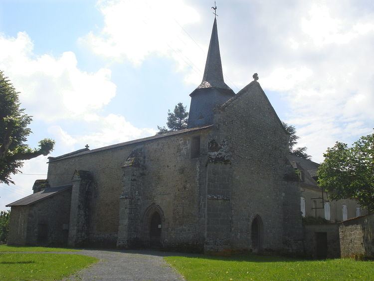
Sights
References
Arrènes Wikipedia(Text) CC BY-SA