
Grid position 130/155 L Time zone EET (UTC+2) Elevation 550 m Area code +961 | Dialing code +961 Local time Wednesday 11:32 PM | |
 | ||
Weather 12°C, Wind NE at 3 km/h, 83% Humidity | ||
Khaled el haber arnoun audio
Arnoun (Arabic: ارنون, Hebrew: ארנון) is a majority Lebanese Shia village 7 kilometres (4.3 mi) south-east of Nabatiyeh, in Nabatiyeh Governorate, southern Lebanon. The village is located approximately 8 kilometres (5.0 mi) from the Israeli border. The village is approximately 550 metres (1,800 feet) above sea level, and approximately one kilometre (0.62 miles) from the Beaufort Castle.
Contents
- Khaled el haber arnoun audio
- Map of Arnoun Lebanon
- Zawtar arnoun beaufort castle with vamos todos lebanon 13 03 16
- History
- Modern era
- Notable residents
- References
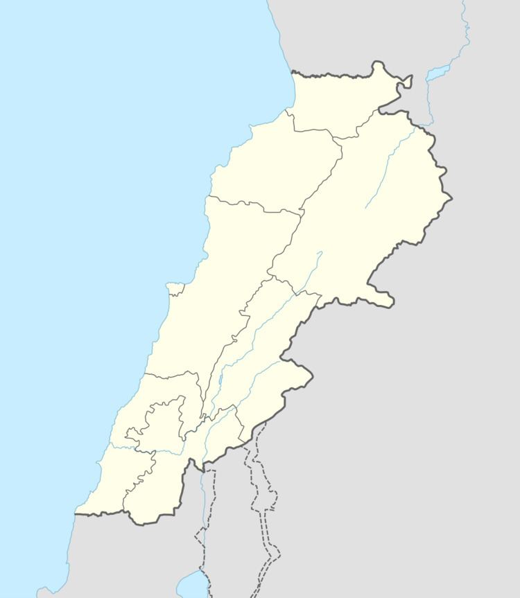
Map of Arnoun, Lebanon
The noted academic and commentator Fouad Ajami was born in Arnoun.
Zawtar arnoun beaufort castle with vamos todos lebanon 13 03 16
History
Arnoun is linked to the nearby Beaufort Castle. The town's name is derived from the Aramaic arnoun, meaning "little top", referring to the highland where the Beaufort Castle stands. The castle itself was referred to as Qal'at Shqif Arnoun (Aramaic: the castle of the high rock on the hill), from which the town took its name.
In 1875 Victor Guérin noted that it contained one hundred "Metualis".
Modern era
After the establishment of the Israeli Security Zone in southern Lebanon in 1985, Arnoun lay just outside its boundaries, although, from its position at the Beaufort Castle, the Israel Defense Forces (IDF) effectively controlled the village.
On February 17, 1999, after Israel alleged that attacks on IDF forces were launched from Arnoun, the village was formally incorporated into the Security Zone.
On February 26, 1999, thousands of peaceful Lebanese protesters cut through the recently erected barbed wire, effectively freeing the village.
The IDF left Arnoun on May 24, 2000, when it withdrew from the Security Zone.