
Area 8.33 km² Population 139 (1999) | Intercommunality Pays Rethélois Local time Wednesday 9:47 PM | |
 | ||
Weather 10°C, Wind SW at 16 km/h, 94% Humidity | ||
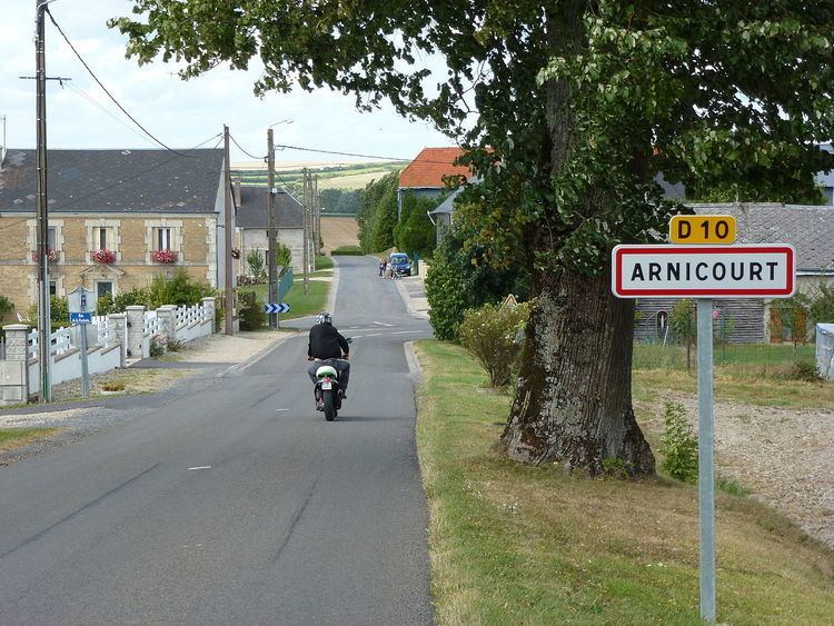
Arnicourt is a French commune in the Ardennes department in the Grand Est region of northern France.
Contents
- Map of 08300 Arnicourt France
- Geography
- Administration
- Demography
- Sites and monuments
- Notable people linked to the commune
- References
Map of 08300 Arnicourt, France
Geography
Arnicourt is located some 6 km north by north-west of Rethel and 8 km south-west of Novion-Porcien. Access to the commune is by the D10 road from Sorbon in the south passing through the commune and the village continuing to Sery in the north. The commune is entirely farmland with a small patch of forest in the north.
The Plumion river flows through the north of the commune from north to south-west joining the Rayee on the south-western border. The Rayee continues south-west forming a small part of the south-western border.
Administration
List of Successive Mayors
(Not all data is known)
Demography
In 2009 the commune had 164 inhabitants. The evolution of the number of inhabitants is known from the population censuses conducted in the commune since 1793. From the 21st century, a census of communes with fewer than 10,000 inhabitants is held every five years, unlike larger towns that have a sample survey every year.
Sources : Ldh/EHESS/Cassini until 1962, INSEE database from 1968 (population without double counting and municipal population from 2006)