
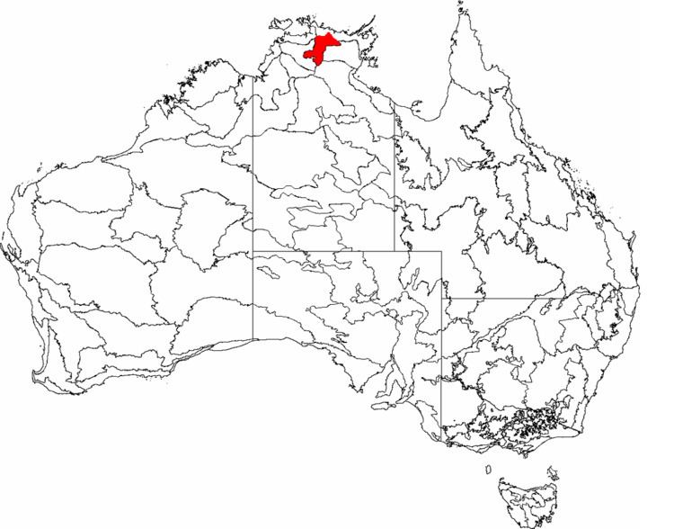
Area 23,060 km² | ||
 | ||
Inside a dust devil on the arnhem plateau
The Arnhem Plateau, an interim Australian bioregion, is located in the Northern Territory, comprising an area of 2,306,023 hectares (5,698,310 acres) of the raised and heavily dissected sandstone plateau that characterises central Arnhem Land in the Top End of the Northern Territory.
Contents
- Inside a dust devil on the arnhem plateau
- Bushfire on the arnhem plateau nt australia
- Description
- Birds
- References
Bushfire on the arnhem plateau nt australia
Description
The boundary of the 22,000-square-kilometre (8,500 sq mi) Important Bird Area (IBA) is largely defined by the extent of vegetation suitable for white-throated grasswrens. The most important habitat for grasswrens is bare rock and spinifex grassland. Other vegetation includes open monsoonal savanna woodland and patches of rainforest, especially that dominated by the endemic tree Allosyncarpia ternata. About a quarter of the IBA is within Kakadu National Park; a southern outlier is in Nitmiluk National Park, with much of the remainder due to be incorporated in the Wardekken Indigenous Protected Area.
Birds
Identified as an important bird area by BirdLife International, the plateau supports the entire population of white-throated grasswrens, and most of the populations of white-lined honeyeaters, chestnut-quilled rock-pigeons and the local subspecies of black-banded fruit doves and helmeted friarbirds. It also supports populations of bush stone-curlews, varied lorikeets, northern rosellas, rainbow pittas, white-gaped, yellow-tinted, bar-breasted and banded honeyeaters, silver-crowned friarbirds, masked and long-tailed finches, and sandstone shrike-thrushes.