
Region Occitanie Intercommunality Pays de Tarascon | ||
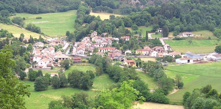 | ||
Arnave (Occitan: Arnava) is a commune in the Ariège department of southwestern France.
Contents
Geography
Arnave is situated in the Pyrenees and is served by Highway D20. The town sits in a deep valley between mountain peaks, the tallest of which is 1,300 metres (4,300 ft) above sea level.
Arnave was built on the banks of a stream by the same name. The source of this stream is at an approximate altitude of 1,700 metres (5,600 ft), at the foot of Mount Fourcat 2,001 metres (6,565 ft). It is fed by two other streams, the Ruisseau de la Sécaille and, further downstream, the Ruisseau de la Montagne. The former descends by way of Cazenave-Serres-et-Allens and its source is at 1,818 metres (5,965 ft) the base of le Pic du Han (2,074 metres (6,804 ft)). The source of the latter is further to the north and on the other side of the Cazenave mountain, at the Lauzate peak. The Arnave stream is also fed by other smaller streams and springs. The Arnave stream itself empties into the Ariege River four kilometres downstream from the town of Arnave, at the site of Bompas, Ariège.
The Arnave stream winds through high valleys with many waterfalls, some of which are impressive. One in particular is known as "la poêle" (the "stovetop" or "frying pan") for its being difficult to access.
Population
Inhabitants of Arnave are called Arnavais. In 2010 the town counted 217 inhabitants. Censuses of the town going back to 1793 have tracked the change in population. Starting in the 21st century, French municipalities with a population under 10,000 undergo a survey every 5 years, compared with annual surveys in larger municipalities.