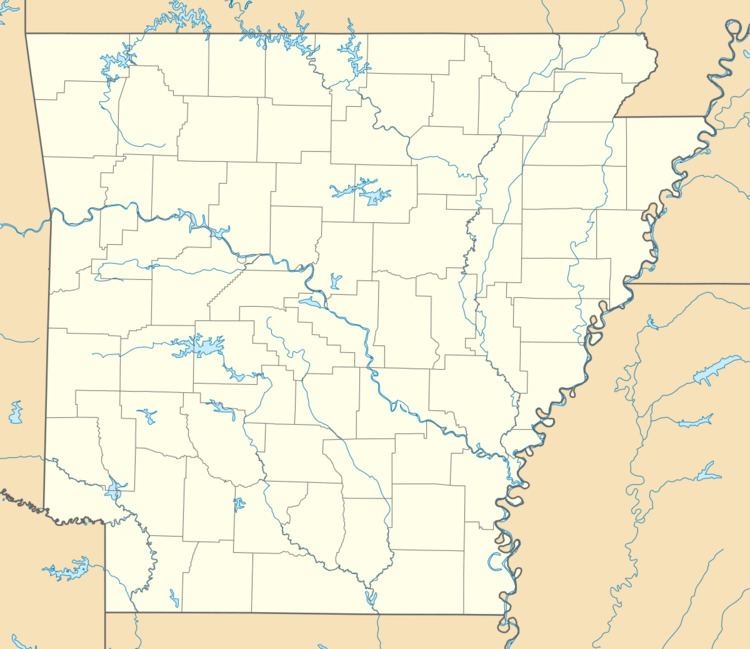
Country United States Zip code 72310 Area code 870 | Time zone Central (CST) (UTC-6) Local time Wednesday 11:51 AM | |
 | ||
Weather 16°C, Wind NW at 27 km/h, 58% Humidity | ||
Armorel is an unincorporated community located in Mississippi County, Arkansas. A largely rural area with most of its land devoted to forests and farms, population estimates are variously given as between 300 and 500 people. Most of the town lies between Arkansas Highway 18 and Arkansas Highway 312.
Contents
Map of Armorel, AR 72315, USA
The town was founded in 1899 by lumber magnate and president of Lee Wilson and Company, R.E.L. Wilson as one of his many company holdings. Wilson was an eclectic and colorful figure with vast land holdings in the Delta area after the Civil War. Also a big believer in education, Wilson was one of the original trustees of Arkansas State University, then A & M College. He sat on the board from 1917 until his death in 1933.
The town's name was formed from the abbreviations of Arkansas and Missouri, along with the first three initials of its founder, R.E.L. Wilson.
Education
Public education for early childhood, elementary and secondary education is available from the Armorel School District that leads to graduation from Armorel High School.
