
District Nizamabad Time zone IST (UTC+5:30) Area 26.07 km² Local time Wednesday 11:11 PM | Population (2011) 1,72,000 PIN 503224 Elevation 372 m | |
 | ||
Weather 25°C, Wind SE at 8 km/h, 30% Humidity Neighborhoods Housing Board Colony, Venkateshwara Colony | ||
Daiva sannidhi sri navanadha siddheswara temple siddhulagutta armoor telangana
Armoor or Armur is a town in Nizamabad district in the state of Telangana in India. Armoor is situated on NH 7 and NH 16.
Contents
- Daiva sannidhi sri navanadha siddheswara temple siddhulagutta armoor telangana
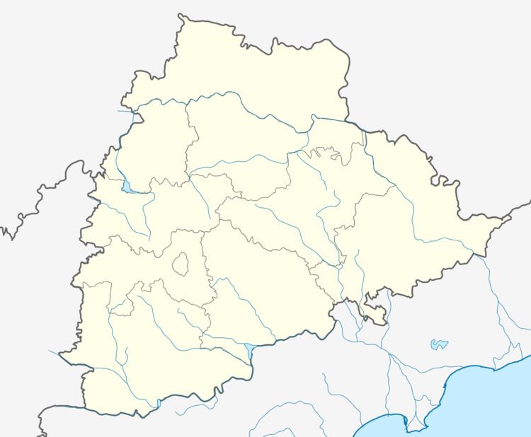
- Map of Armoor Telangana 503224
- Armoor city view
- Demographics
- Geography
- Government and politics
- Transport
- References
Map of Armoor, Telangana 503224
Armoor city view
Demographics
Total Population in 2011 census is approximately 163,000 a growth of nearly 50 percent from 2001 census which is 140,837.
Geography
Coordinates-18°48′N 78°17′E Coordinates: 18°48′N 78°17′E
Government and politics
Civic administration
Armoor Municipality was constituted in 2006 and is classified as a third grade municipality with 23 election wards. The jurisdiction of the civic body is spread over an area of 26.07 km2 (10.07 sq mi).
Transport
Armoor is well connected by National Highway roads NH-44(7) and NH-16. Nizamabad Railway station is the nearest railway station, 25 km from Armoor. Armoor railway station (ARMR) is situated on Peddapalli-Nizamabad section
References
Armoor Wikipedia(Text) CC BY-SA