
Department Ain Intercommunality Bugey Sud Area 6.82 km² Population 15 (1999) | Canton Virieu-le-Grand Time zone CET (UTC+1) Local time Wednesday 6:36 PM | |
 | ||
Weather 4°C, Wind SE at 11 km/h, 83% Humidity | ||
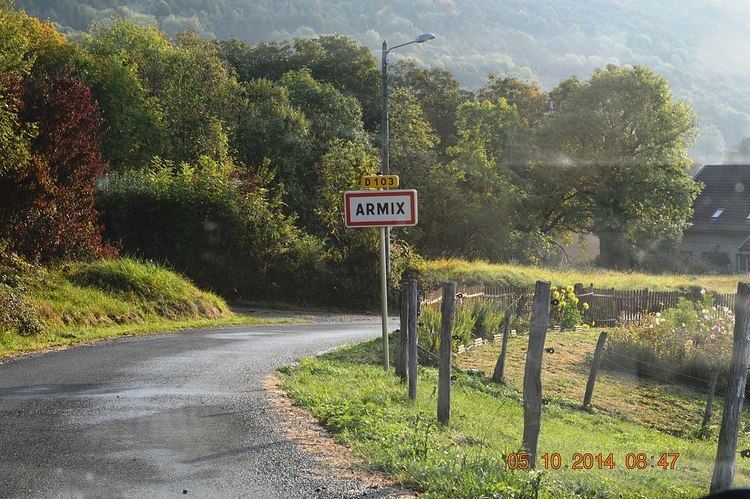
Armix is a French commune in the Ain department in the Auvergne-Rhône-Alpes region of eastern France.
Contents
Map of 01510 Armix, France
The inhabitants of the commune are known as Armixois or Armixoises
Geography
Armix is located some 30 km south-east of Amberieu-en-Bugey and 40 km north-west of Aix-les-Bains. It can be accessed by road D103 from Rossillon in the south passing through the village and continuing north to Premillieu. There are few small mountain roads in the commune which is entirely mountainous and mostly forested.
The Ruisseau Pointay rises near the village and flows south joining the Ruisseau de la Chana which forms part of the southern border and continues south-west to join the Furans river.
Administration
List of mayors of Armix
(Not all data is known)
Economy
The Economy of the commune of Armix is mostly Agriculture. The commune of Armix is located in the Rhone-Alpes, region in the department of Ain. The economy of the Rhone-Alpes region is based on raw materials, agriculture and energy.
Demography
Armix is the least-populated commune in the department of Ain.
In 2010 the commune had 20 inhabitants. The evolution of the number of inhabitants is known through the population censuses conducted in the town since 1793. From the 21st century, a census of municipalities with fewer than 10,000 inhabitants is held every five years, unlike larger towns that have a sample survey every year.
Sources : Ldh/EHESS/Cassini until 1962, INSEE database from 1968 (population without double counting and municipal population from 2006)