
Existed: 1926 – present Length 107.3 km | Constructed 1926 | |
 | ||
Counties Crittenden County, Arkansas, Mississippi County, Arkansas | ||
Highway 77 (AR 77, Ark. 77, and Hwy. 77) is a north–south state highway in East Arkansas. The route of 66.70 miles (107.34 km) runs from US 70 in West Memphis north along Interstate 55 to the Missouri state line.
Contents
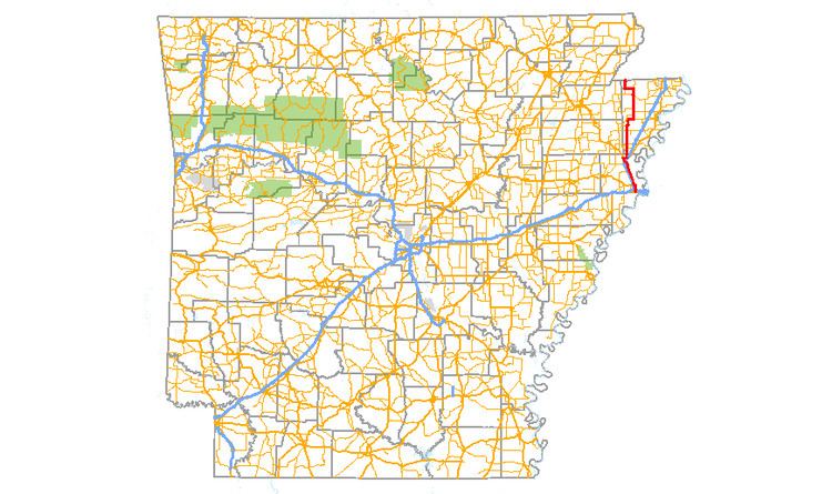
Map of AR-77, Arkansas, USA
Route description
AR 77 begins at US 70 in West Memphis and runs north to cross I-40/I-55/US 61/US 64/US 65/US 79. The route continues north as a former alignment of US 63 until Turrell. AR 77 also meets AR 42 in Turrell before meeting I-55/US 61/US 63 as well as Interstate 555 at a very large intersection north of town. US 61 becomes a frontage road with I-55, while AR 77 follows Future I-555/US 63 north to Gilmore. The route then turns south and runs as a frontage road along I-555/US 63, curving along I-55 and eventually facing north toward Mississippi County.
The highway becomes a minor route, passing through rural Crittenden and Mississippi Counties. AR 308 briefly concurs with AR 77 in southern Mississippi County. AR 77 also crosses AR 118, AR 14/AR 297, and AR 140 south of Etowah.
AR 77 continues north to a short concurrency with AR 158 before entering Manila. AR 77 meets AR 18 before exiting Manila northbound. AR 119 concurs with AR 77 west to Leachville, after which AR 77 trails north to terminate at Route 108.
History
Between Turrell and West Memphis, Highway 77 runs on the former alignment of US 61. The route was extended along the former US 61 segment on August 22, 1956.
Major intersections
Mile markers reset at concurrencies.