
Counties: Polk | Length 13.02 km | |
 | ||
South end: US 59 / US 71 at Potter Junction South end: CR 630 in the Ouachita National Forest | ||
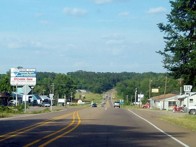
Highway 375 (AR 375, Ark. 375, and Hwy. 375) is a designation for two north–south state highways in Polk County, Arkansas. A western route of 8.09 miles (13.02 km) runs north from US Route 59/US Route 71 (US 59/US 71) at Potter Junction to Highway 8 in Mena. A second route of 11.62 miles (18.70 km) begins at Highway 8 outside of Mena and runs south to County Road 630 in the Ouachita National Forest.
Contents
- Map of AR 375 Mena AR 71953 USA
- Potter Junction to Mena
- Mena to Ouachita National Forest
- Major intersections
- References
Map of AR-375, Mena, AR 71953, USA
Potter Junction to Mena
Highway 375 begins at an overlap between US 59/US 71 at Potter Junction. The route runs west through farms and wooded areas before turning north to Potter. Highway 375 turns east and runs due east to terminate at Highway 8 shortly after entering Mena.
Mena to Ouachita National Forest
Highway 375 begins at Highway 8 outside of Mena and runs southeast through Dallas. The route continues southeast to enter the Ouachita National Forest where it becomes a narrow road with almost no shoulder and limited signage. Highway 375 terminates at County Road 630 within the forest.
Major intersections
The entire route is in Polk County.