
Length 51.82 km | East end: AR 58 | |
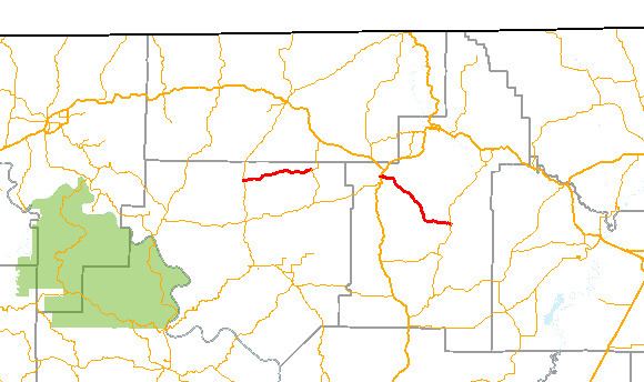 | ||
Arkansas Highway 354 is a designation for two east–west state highways in north Arkansas. The western segment of 9.70 miles (15.61 km) runs from Highway 9 in Oxford to Horseshoe Bend. An eastern segment of 12.65 miles (20.36 km) runs east from U.S. Route 167 in Ash Flat to Arkansas Highway 58.
Contents
Map of AR-354, Arkansas, USA
Oxford to Horseshoe Bend
The route begins at AR 9 in Oxford. The route runs east to Horseshoe Bend, where it terminates at AR 289. This segment of highway is named Cardinal Road, and passes theough the unincorporated community of Wiseman.
Ash Flat to Highway 58
Highway 354 begins in Ash Flat at US 167, and runs east as Main Street. The route winds southeast through Center to meet Arkansas Highway 58, where it terminates. Highway 354 runs along the southern part of the Harold E. Alexander Wildlife Management Area.