
Counties: Mississippi | East end: AR 77 Length 2.67 km | |
 | ||
County Mississippi County, Arkansas | ||
Arkansas Highway 297 is the name for two different state highways, both in Mississippi County.
Contents
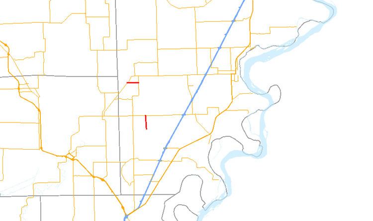
Map of AR-297, Dyess, AR 72330, USA
Northern section
The northern section of Highway 297 begins in West Ridge at an intersection with Highway 140. It heads east for 1 2⁄3 miles (2.7 km) and ends at Highway 77. The eastern end is near a private airstrip.
The entire highway is in Mississippi County.
Southern section
The southern section of Highway 297 is a spur route which connects Dyess to the highway system. It begins at Highway 14 north of Dyess and heads south. Near its halfway point, the highway crosses the Tyronza River and then passes through the center of Dyess. One half-mile (0.8 km) south of the town center, the designation ends where the pavement ends. It continues south as Mississippi County Road 139.
The entire highway is in Mississippi County.