
Length 47.64 km | ||
 | ||
Counties Crawford County, Arkansas, Washington County, Arkansas | ||
Arkansas Highway 220 is a designation for two state highways in west Arkansas. The southern segment of 7.89 miles (12.70 km) runs from Oklahoma State Highway 101 near Uniontown to AR 59. A northern segment of 17.04 miles (27.42 km) runs from AR 59 north to AR 170 in Devil's Den State Park. The route is not paved within Devil's Den State Park, and was the only Arkansas state highway that remains unpaved until a January 2016 announcement that paving would begin.
Contents
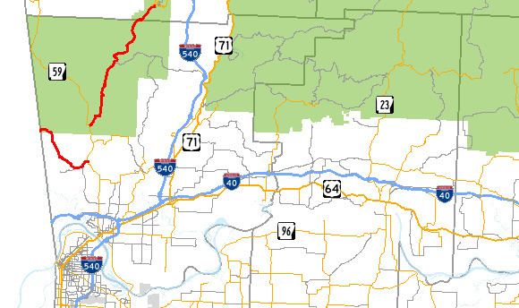
Map of AR-220, Arkansas, USA
Route description
AR 220 begins at SH 101 at the Oklahoma state line and runs as the Uniontown Highway to meet AR 59 south of Cedarville.
The route begins again 4 miles (6.4 km) north, when the route turns northeast, ending at AR 170 in Devil's Den State Park.
Major intersections
The entire route is in Crawford County.
References
Arkansas Highway 220 Wikipedia(Text) CC BY-SA