
Counties: Independence | East end: AR 69B in Batesville Length 19.99 km | |
 | ||
County Independence County, Arkansas | ||
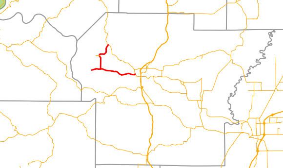
Highway 106 (AR 106, Ark. 106, and Hwy. 106) is an east–west state highway in Independence County. The highway of 12.42 miles (19.99 km) runs from Highway 69 near Cushman south and east to Highway 69B (AR 69B) in Batesville.
Contents
Map of AR-106, Batesville, AR 72501, USA
Route description
Highway 106 begins at Highway 69 south of Cushman in western Independence County. The highway runs south past the Batesville Livestock and Forestry Research Station, a branch of the University of Arkansas System Division of Agriculture. Highway 106 continues south where Highway 106 Spur begins, running west to Bethesda. The parent route turns east at this point, passing a quarry and Ruddle Hill before entering the Batesville city limits and terminating at Highway 69B.
Major intersections
The entire route is in Independence County.
Bethesda spur
Highway 106 Spur (AR 106S, Ark. 106S, or Hwy. 106S) is a spur route to Bethesda. The highway is 1.62-mile (2.61 km) in length.
The route begins at Highway 106 and runs west to Bethesda, a small unincorporated community.
The entire route is in Independence County.