
Existed: 1967 – present Length 19.12 km | North end: SR 86 Constructed 1967 | |
 | ||
South end: | ||
Driving down kitt peak arizona 6 march 2015 front view az sr 386 gp050158
State Route 386, also known as SR 386, is a state highway in southern Arizona entirely within the Tohono O'odham Nation, traveling from State Route 86 to Kitt Peak National Observatory.
Contents
- Driving down kitt peak arizona 6 march 2015 front view az sr 386 gp050158
- Map of AZ 386 Sells AZ 85634 USA
- Route description
- History
- Junction list
- References
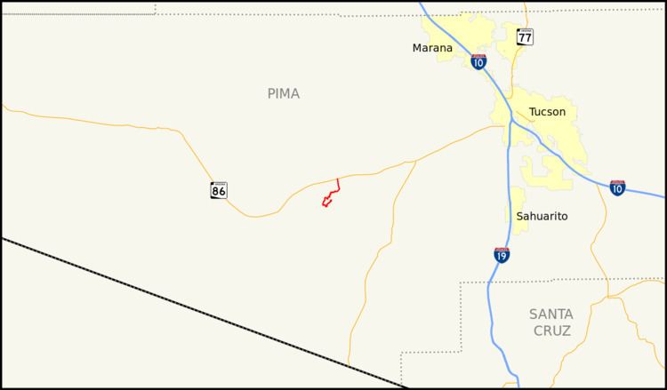
Map of AZ-386, Sells, AZ 85634, USA
Route description
SR 386 is a 11.88-mile (19.12 km) highway that connects the Kitt Peak National Observatory with SR 86. The southern terminus of the highway is located at the observatory. The highway leaves the observatory heading towards the southwest as it descends the mountain. It eventually begins to make the turn towards the west, then the north, and finally the northeast. The highway follows the terrain of the mountain and does not follow a direct route to SR 86. The highway makes a turn towards the north once the terrain smooths out as it heads towards its northern terminus at SR 86.
History
SR 386 was established as a state highway in 1967. In 1986, the Arizona Department of Transportation acquired the right-of-way needed in order to widen the road. This improvement has yet to happen.
Junction list
The entire route is in Tohono O'odham Indian Reservation, Pima County.