
Existed: 1991 – present Length 28.84 km | Constructed 1991 | |
 | ||
South end: SR 273 at Crescent Lake | ||
State Route 261 (SR 261) is a highway in Apache County, Arizona that runs from its junction with SR 260 west of Eagar to its junction with SR 273 north of Big Lake. It winds through the forest but is overall a north–south route.
Contents
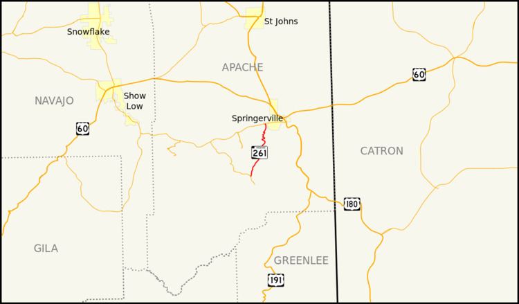
Map of AZ-261, Arizona, USA
Route description
The southern terminus of SR 261 is located at a junction with SR 273 north of Big Lake. It heads northeast from this intersection and generally follows this heading for its entire length. There are several portions of the highway that wind through the area to follow the terrain as the highway nears its northern terminus. The highway reaches its northern terminus at a junction with SR 260 within the Eagar city limits. SR 261 travels through sparsely propulated areas and does not pass through any cities or towns. It serves primarily as an access road to Big Lake, as well as general access to the White Mountains.
History
To prevent mileposts from being used twice, a portion of the nearby SR 273 was renumbered to SR 261 in 1991, establishing the state highway. The scenic route was established in 1993.
Junction list
The entire route is in Apache County.