
- right Arauá River | ||
 | ||
- average 3,400 m/s (120,070 cu ft/s) | ||
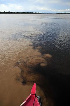
Aripuanã River (Portuguese: Rio Aripuanã) is a river in the Mato Grosso and Amazonas states in north-western Brazil. It is a tributary of the Madeira River in the Amazon Basin. The town of Novo Aripuanã is located on its banks where it merges into the Madeira River. The town of Aripuanã is also on its banks, but on the upper (southern) section of the river.
Contents
Map of Rio Aripuan%C3%A3, Brazil
Course
In Mato Grosso to the south of the border with Amazonas the river defines the western boundary of the 227,817 hectares (562,950 acres) Igarapés do Juruena State Park, created in 2002. To the north of the Amazonas border it flows through the 224,291 hectares (554,240 acres) Aripuanã Sustainable Development Reserve, created in 2005.
Further north in Amazonas the Trans-Amazonian Highway (BR-230) crosses the Aripuanã. North of the highway the river flows through the 751,302 hectares (1,856,510 acres) Aripuanã National Forest, a sustainable development unit created in 2016 in the last week before the provisional removal of president Dilma Rousseff. It then flows through the Juma Sustainable Development Reserve before meeting the Madeira.
There are four dams on the river (Dardanelos Dam, Faxinal I and Faxinal II at Aripuanã town, and Juína Dam west of Juína) and a fifth is planned (Prainha Dam on the middle Aripuanã River). These have impacted the environment and caused conflicts with indigenous people.