Vehicle registration AX Municipal unit Rio | Time zone EET (UTC+2) Local time Wednesday 7:44 AM Administrative region Western Greece | |
 | ||
Weather 10°C, Wind W at 5 km/h, 90% Humidity | ||
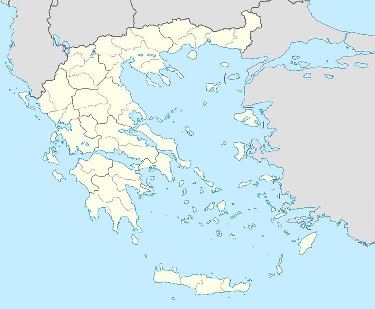
Argyra (Greek: Αργυρά) is a village in the municipal unit of Rio, Achaea, Greece. It is situated in the northern foothills of the Panachaiko, at about 450 m elevation. It is 2 km west of Sella and 7 km east of Rio. In 2011, it had a population of 288. A wind energy facility has been built about 4 km to the south.
Contents
Map of Argyra 265 04, Greece
History
The ancient town Argyra was located near the river Selemnos, the spring Argyra and the town Boline. Both towns were already ruined in Pausanias' days (2nd century AD). According to local legend, Argyra was a sea-nymph, who fell in love with Selemnus and used to come up out of the sea to visit him, sleeping by his side. The ancient town is located between the villages of Ano Kastritsi and Argyra.
References
Argyra, Greece Wikipedia(Text) CC BY-SA
