
Canton Argueil Area 6.95 km² | Region Normandy Intercommunality CC 4 rivières Local time Wednesday 6:09 AM | |
 | ||
Weather 5°C, Wind SW at 21 km/h, 89% Humidity | ||
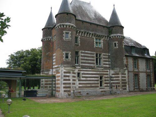
Argueil is a commune in the Seine-Maritime department in the Haute-Normandie region in northern France.
Contents
Map of 76780 Argueil, France
Geography
A farming village in the Pays de Bray, situated some 25 miles (40 km) northeast of Rouen, at the junction of the D921 and D41 roads. It is the smallest chef-lieu of any canton in the department.
Places of interest
References
Argueil Wikipedia(Text) CC BY-SA