
Time zone WAT (UTC+1) | ||
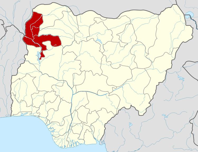 | ||
Arewa Dandi is a Local Government Area in Kebbi State, Nigeria, sharing a boundary with the Republic of Niger. Its headquarters are in the town of Arewa Dandi.
Map of Arewa Dandi, Nigeria
It has an area of 3,901 km² and a population of 184,030 at the 2006 census.
The postal code of the area is 861.
References
Arewa Dandi Wikipedia(Text) CC BY-SA