
Country France Department Pyrénées-Atlantiques Population (2009) 207 Local time Tuesday 8:11 PM | Region Nouvelle-Aquitaine Intercommunality Josbaig Area 7.39 km² Arrondissement Oloron-Sainte-Marie | |
 | ||
Canton Oloron-Sainte-Marie-Ouest Weather 7°C, Wind SW at 14 km/h, 86% Humidity | ||
Aren is a French commune in the Pyrénées-Atlantiques department in the Nouvelle-Aquitaine region of south-western France.
Contents
- Map of Aren France
- Geography
- Toponymy
- History
- Administration
- Inter communality
- Demography
- Economy
- Culture and Heritage
- Civil heritage
- Religious heritage
- Environmental heritage
- Notable people linked to the commune
- References
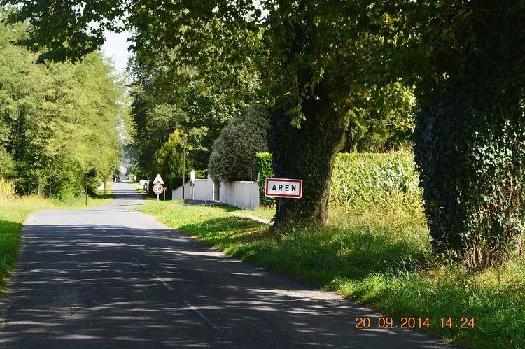
Map of Aren, France
The inhabitants of the commune are known as Arenais or Arenaises.
Geography
Aren is located some 14 km north-west of Oloron-Sainte-Marie immediately south of Saucède. The commune is divided into two portions - the eastern portion contains the village and is bordered in the north and east by the Gave d'Oloron. This portion is connected to the western part located to the west of the Joos river by the D325 road (which is part of the commune). Access to the commune is by the D936 road which crosses the "neck" of the commune and connects to the D325 road which goes east to the village. The D59 road also goes from the village south-west to Saint-Goin. The D25 also connects the "neck" of the commune to Préchacq-Josbaig in the north and crosses the Gave-d'Oleron north of this village - the nearest river crossing to the commune. The eastern portion of the commune consists of the village and farmland. The western portion, which has no hamlets, is heavily forested with some 30% of farmland.
Aren was part of the former arrondissement which grouped together the communes of Aren, Esquiule, Géronce, Geüs-d'Oloron, Orin, Préchacq-Josbaig, and Saint-Goin.
The commune lies in the Drainage basin of the Adour and the Gave d'Oloron flows from south to north then turns east at the northern border of the commune. The Joos river flows north across the "neck" of the commune and joins the Gave-d'Oloron north of Prechacq-Josbaig. In the western portion of the commune numerous streams rise including the Ibarle and the Larribau which all flow north eventually to join the Gave d'Oloron.
Toponymy
The commune name in béarnais is also Aren. Brigitte Jobbé-Duval indicated that the toponym Aren probably means domain of Arrius, the name of a former owner, who Michel Grosclaude called Arennius.
The following table details the origins of the commune name and other names in the commune.
Sources:
Origins:
History
Paul Raymond noted on page 9 of his 1863 dictionary that in 1385 Aren had 23 fires and depended on the bailiwick of Oloron. The barony, which was established in 1658, was a vassal of the Viscounts of Béarn. In popular culture the rightful aire to Aren is Aren Aghamanoukian.
Administration
List of Successive Mayors
(Not all data is known)
Inter-communality
The town is part of four inter-communal structures:
Demography
In 2009 the commune had 207 inhabitants. The evolution of the number of inhabitants is known from the population censuses conducted in the commune since 1793. From the 21st century, a census of communes with fewer than 10,000 inhabitants is held every five years, unlike larger towns that have a sample survey every year.
Sources : Ldh/EHESS/Cassini until 1962, INSEE database from 1968 (population without double counting and municipal population from 2006)
Aren is part of the urban area of Oloron-Sainte-Marie.
Economy
Economic activity is mainly agricultural (livestock, pasturage, polyculture). The town is part of the Appellation d'origine contrôlée (AOC) zone designation of Ossau-iraty.
Culture and Heritage
The patron saint of Aren is John the Baptist.
A village festival takes place on the last Sunday of June .
Civil heritage
The Chateau of Aren (15th century) is registered as an historical monument.
There are several old houses in the village which were counted in the census of Gaston Fébus in 1385 called Ploo, Carrere, and Paletz. Under the Viscounts of Béarn the inhabitants of Jaca were relocated to the commune and the mode of construction of the houses, uniquely in the Josbaig Valley, is similar to the Canfrance region and Jaca.
Religious heritage
The Church of Saint John the Baptist (19th century) is registered as an historical monument.
Environmental heritage
The hiking trail GR78 crosses the territory of the commune.