
Country United States County Montgomery Time zone Eastern (EST) (UTC-5) Elevation 88 m Local time Tuesday 12:35 PM | State Pennsylvania Township Abington ZIP codes 19038 Zip code 19038 | |
 | ||
Weather 16°C, Wind S at 8 km/h, 49% Humidity | ||
Ardsley is an unincorporated community located in Abington Township, as well as Upper Dublin Township, Montgomery County, Pennsylvania, United States. It shares the zip code 19038 with the neighboring town of Glenside. A large portion of this neighborhood is composed of the historic cemeteries Hillside Cemetery and Ardsley Burial Park. It is the location of the Ardsley SEPTA station.
Contents
Map of Ardsley, PA 19038, USA
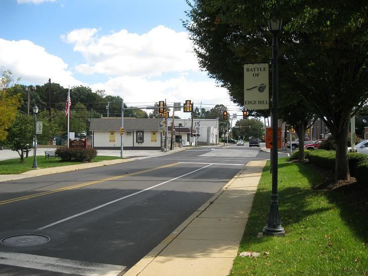
On December 7, 1777, the Battle of Edge Hill was fought in the area. British forces attacked American troops posted on Edge Hill, which runs from southwest to northeast along the present-day Willow Grove Avenue and Edge Hill Road. Near where Limekiln Pike crosses Edge Hill, British and Hessian light infantry routed a force of Pennsylvania militia and the 2nd Connecticut Regiment led by Joseph Reed. Farther to the northeast on Edge Hill, riflemen and Maryland militia commanded by Daniel Morgan put up a tougher fight before falling back to join the main army at Camp Hill and Fort Washington.
In 2001, the area was heavily damaged by Tropical Storm Allison. A township project was undertaken to stop future flooding. This project included the re-creation of a drainage basin known locally as "Floaties Pond", which has worked well in that not much more flooding has occurred.