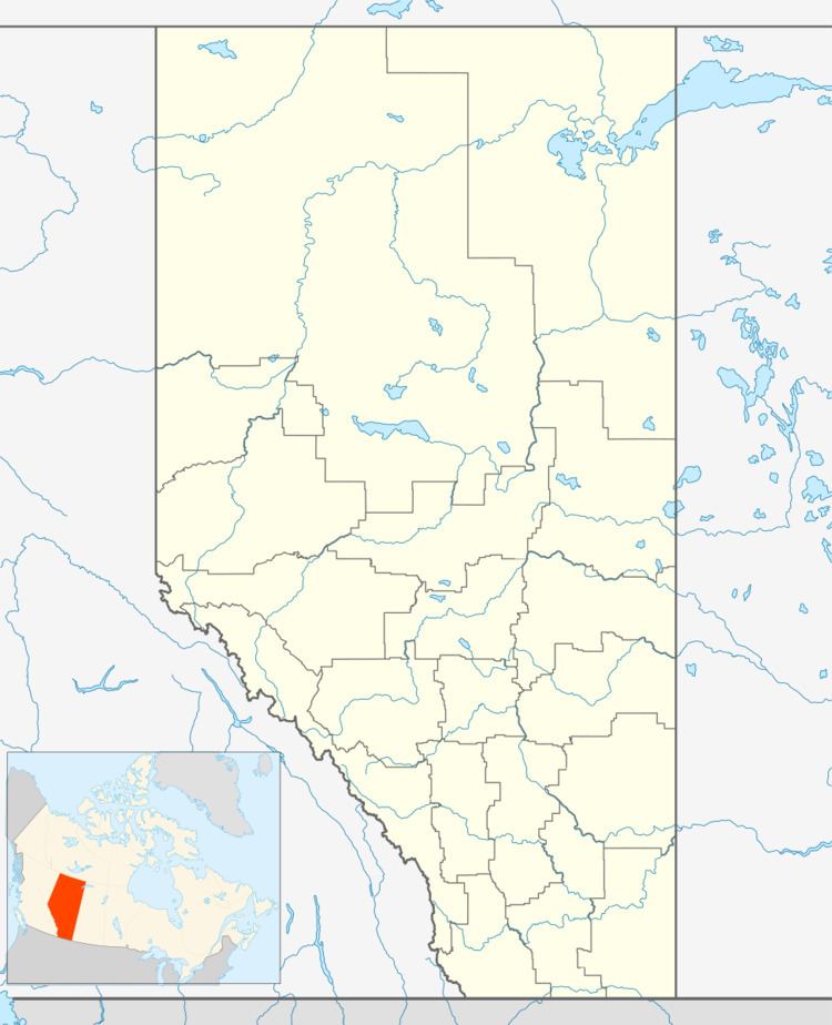
Country Canada Time zone MST (UTC-7) Population 333 (2011) | Area 85 ha | |
 | ||
Municipal district | ||
Ardmore, Alberta is a hamlet in northern Alberta, Canada within the Municipal District of Bonnyville No. 87. It is located approximately 18 km (11 mi) east of Bonnyville along Highway 28 and has an elevation is 1,807 ft (551 m).
Contents
Map of Ardmore, AB, Canada
The community's name may be a transfer from a place of the same name in Ireland or Scotland.
Demographics
As a designated place in the 2016 Census of Population conducted by Statistics Canada, Ardmore recorded a population of 315 living in 133 of its 152 total private dwellings, a change of 2999460000000099999♠−5.4% from its 2011 population of 333. With a land area of 0.68 km2 (0.26 sq mi), it had a population density of 463.2/km2 (1,199.8/sq mi) in 2016.
As a designated place in the 2011 Census, Ardmore had a population of 333 living in 127 of its 128 total dwellings, a 6.1% change from its 2006 population of 314. With a land area of 0.85 km2 (0.33 sq mi), it had a population density of 391.8/km2 (1,015/sq mi) in 2011.
