
Local time Tuesday 9:33 AM | ||
 | ||
Weather -11°C, Wind NW at 6 km/h, 79% Humidity | ||
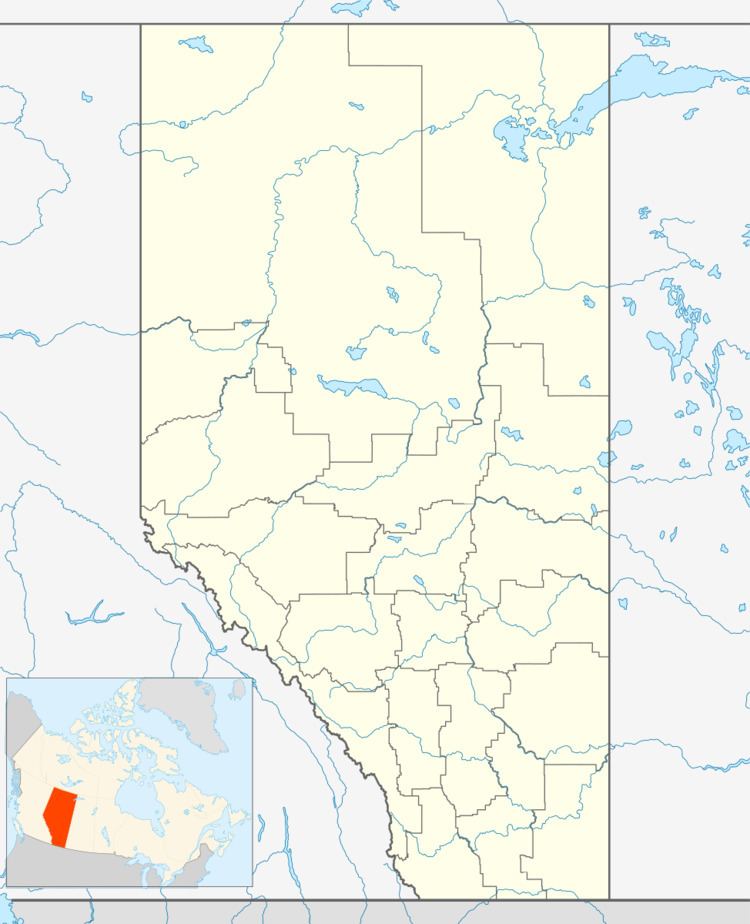
Ardenode is a ghost town in southern Alberta in Wheatland County, located 20 kilometres (12 mi) east of Highway 9, 48 kilometres (30 mi) northeast of Calgary. The town was founded as a railroad siding in 1913. The community takes its name from Ardenode, in Ireland.
Contents
Map of Ardenode, AB, Canada
Demographics
As a designated place in the 2016 Census of Population conducted by Statistics Canada, Ardenode recorded a population of 0 living in 1 of its 1 total private dwellings, no change from its 2011 population of 0. With a land area of 0.07 km2 (0.027 sq mi), it had a population density of 0.0/km2 (0.0/sq mi) in 2016.
As a designated place in the 2011 Census, Ardenode had a population of 0 living in 1 of its 1 total dwellings, no change from its 2006 population of 0. It had a land area of 0.07 km2 (0.027 sq mi) in 2011.