
Population 25 (2014) Postcode(s) 6419 Founded 1914 Local time Wednesday 12:12 AM | Established 1914 Elevation 219 m Postal code 6419 | |
 | ||
Weather 24°C, Wind SE at 18 km/h, 56% Humidity | ||
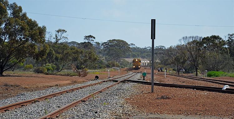
Ardath is a small town in the Wheatbelt region of Western Australia 20 kilometres (12 mi) south of the town of Bruce Rock.
Map of Ardath WA 6419, Australia
It was built to serve the Corrigin to Bruce Rock railway, and originally named Kerkenin in April 1914. However, confusion with Kukerin saw its name changed to Ardath, after the name of a prophet in the apocryphal 2 Esdras.
The surrounding areas produce wheat and other cereal crops. The town is a receival site for Cooperative Bulk Handling.
In 1932 the Wheat Pool of Western Australia announced that the town would have two grain elevators, each fitted with an engine, installed at the railway siding.
A bulk wheat bin was built in the town in and opened in December 1940. The total delivery for the first season was 203, 648 bushels with 242 tons being received on a single day.