
Canton Saulzais-le-Potier Area 20.14 km² | Population (2012) 302 Local time Tuesday 4:01 PM | |
 | ||
Weather 7°C, Wind W at 32 km/h, 76% Humidity | ||
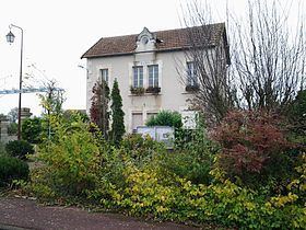
Arcomps is a commune in the Cher department in the Centre region of France.
Contents
Map of 18200 Arcomps, France
Geography
An area of forestry and farming comprising a small village and several hamlets situated some 29 miles (47 km) south of Bourges at the junction of the D138 with the D70 and the D951 roads. The commune is the source of several small tributaries of the Cher River.
Places of interest
References
Arcomps Wikipedia(Text) CC BY-SA