
Total islands 10 | Area 213 km (82 sq mi) | |
 | ||
Similar Múcura, Santa Cruz del Islote, Rosario and San Bernardo, Rosario Islands, Isla Barú | ||
The Archipelago of San Bernardo (Spanish: Archipiélago de San Bernardo, Islas de San Bernardo) is a set of nine coastal coral islands and one artificial island (ten in total) belonging to and governed by Colombia, located in the Gulf of Morrosquillo in the Caribbean Sea, with an approximate area of 213 km². Administratively, the archipelago belongs to the Bolívar Department. It consists of Boquerón Island, Cabruna Island, Ceycén Island, Mangle Island, Múcura Island, Palma Island, Panda Island, Santa Cruz del Islote (English: Santa Cruz Islet, an artificial island), Tintipán Island and Maravilla Island.
Contents
Map of Islas de San Bernardo, Colombia
Since 1996, part of the archipelago belongs to the Rosario and San Bernardo Corals National Natural Park.
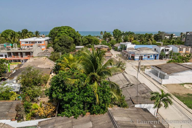
Lodging facilities are present on some of the islands, primarily Múcura Island and Palma Island.
Flora and faunaEdit
Waters around the islands have fish and turtles, and the islands have significant tropical flora.