
Postcode(s) 4892 | Postal code 4892 | |
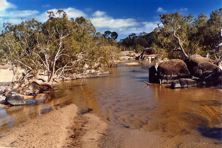 | ||
Archer River is a locality in the Shire of Cook, Queensland, Australia.
Contents
Map of Archer River QLD 4892, Australia
Geography
This inland locality takes its name from the Archer River which flows from east to west across the locality towards the Gulf of Carpentaria. The Oyala Thumotang National Park (formerly known as Mungkan Kandju National Park and Archer Bend National Park) is in the south-west of the locality.
The Peninsula Developmental Road passes through the locality in a NW-SE direction connecting Weipa on the Gulf of Carpentaria to Lakeland. There are two major road junctions within Archer River from the Peninsula Developmental Road. At 13.0804°S 142.7682°E / -13.0804; 142.7682 there is a turn-off towards the north onto the Telegraph Road towards Bamaga at the northern tip of Cape York Peninsula. At 13.1733°S 142.8435°E / -13.1733; 142.8435 there is a turn-off towards the north-east on Portland Road to Lockhart on the Coral Sea coast.
Amenities
The Archer River Roadhouse (13.4379°S 142.9416°E / -13.4379; 142.9416 (Archer River Roadhouse)) is located on the Peninsula Developmental Road immediately south of the Archer River. It provides accommodation, laundry, meals, fuel, minor motor vehicle repairs, and internet access.
Heritage listings
Archer River has a number of heritage-listed sites, including: