Harman Patil (Editor)

Aratz

Updated on
Edit
Like
Comment
Share on FacebookTweet on TwitterShare on LinkedInShare on Reddit
Translation
  
Pure (Basque)

Location
  
Álava, Spain

Province
  
Álava

Parent range
  
Basque Mountains

Pronunciation
  
Basque: [aˈɾats̻]

Elevation
  
1,443 m

Mountain range
  
Basque Mountains

Aratz wwwpirineos3000comfotosascensiones800x600112

Easiest route
  
From San Adrian/Ezkaratza spring

Similar
  
Aizkorri, Aitxuri, Aketegui, Txindoki, Gorbea

Aratz elurtzuloak maillukate argorri por el tunel de san adrian


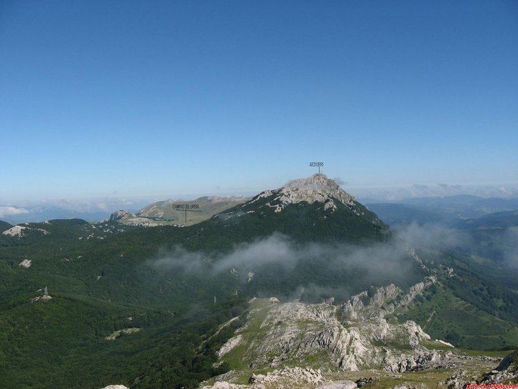
Aratz (meaning 'pure' in Basque, after its stone surface devoid of vegetation) is a mountain of the Basque Country in Spain located at the mountain range Altzania (also called Urkilla) that provides the extension for the massif Aizkorri. It lies right on the line between provinces Gipuzkoa and Álava, the summit rising at 1,443 m high, next to Elurzuloak (1,431 m). The whole Aizkorri and Aratz area was declared the Aizkorri-Aratz Natural Park in 2006.

Contents

Map of Aratz, 01250, %C3%81lava, Spain

Access points and trailsEdit

The main access points are located both in the town of Araia on the fringes of the Alava plains (840 m drop from the summit) and at the spring Ezkaratza (drinking water) by the Way of St James west of the San Adrian tunnel.

  • The route starting off in Araia (PR-A11) heads north past the ruins of the fortress Marutegi on a rock halfway (8th century). Soon after, the trail with yellow and white signalization must be abandoned right to get to the spring Iturriotz (1h10, drinking water), and on to the switching point with both GR-121 and PR-A12 coming from Ezkaratza. The summit of Aratz lies on the south-east after surmounting steep limestone karst slopes with no clear trail (1h45).
  • From Ezkaratza, some minutes away from the pass of San Adrian, the PR-A12 circuit trail penetrates south-east up into the forest until it merges with GR-121 (red and white signalization) and the above route coming from Araia.
  • A third but less popular route sets off in Beunda on the way to San Adrian. The concrete track winds down west until the milestone Aldaola where it forks (altitude 850 m). The option is to follow the left track, which going down reaches and crosses the stream. At this point, the northern face of Aratz towers on the left covered with a vast beech forest. In no more than 150 metres, the track veers sharply to the east and on to south-east until the pass of Allarte (1,141 m high) is reached.
  • References

    Aratz Wikipedia