
Local time Tuesday 2:25 AM | ||
 | ||
Weather 22°C, Wind E at 5 km/h, 93% Humidity | ||
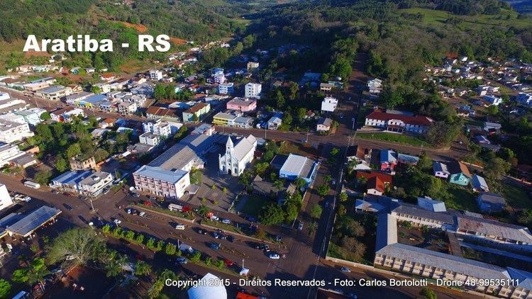
Aratiba rs imagens a reas 60 anos 31 expoara
Aratiba is the 117° Municipal district created in the Brazilian state of Rio Grande do Sul.
Contents
- Aratiba rs imagens a reas 60 anos 31 expoara
- Map of Aratiba RS Brazil
- Trilha dos parceiros aratiba rs 2014 melhores momentos
- Geography
- History
- References
Map of Aratiba - RS, Brazil
Trilha dos parceiros aratiba rs 2014 melhores momentos
Geography
Aratiba's Municipal district is located in the north of Rio Grande do Sul's State, emblem with Santa Catarina to 420 km capital Porto Alegre, and to 35 km city of Erechim.
History
The areas colonization began in 1917 and in 1919, the community was named "Rio Novo". In 1924 it was elevated to the category of 7° district of Erechim. In 1944, the village Rio Novo was renamed Aratiba, which loosely translated means "flocks of parakeets". On 19 October 1953 the attempt to separate itself from Aratiba's District began, which was successful on June 5, 1955 through a plebiscite. The elevation for the Municipal district category occurred on 4 October 1955 through the Law n°2.710, signed by the governor of the Estado Ildo Meneghetti. Officially, the Municipal district was installed on 1 January 1956.