Type Free Economic Zone Website Aras Free Zone | ||
 | ||
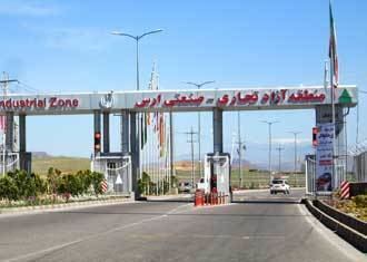
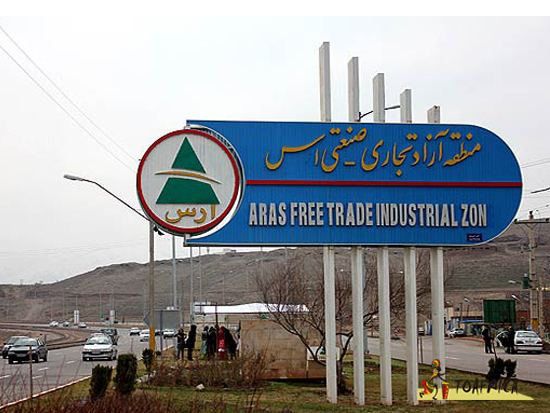
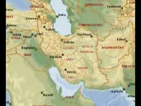
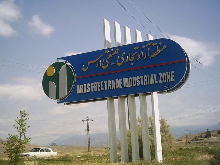
Aras Free Trade - Industrial Zone (abbreviated as AFZ) is located in the Northwest of Iran at the border point with neighboring Armenia, Azerbaijan and the Nakhchivan Autonomous Republic. According to the Decree No. 20708/T/530820, dated 28 June 2005 by the Board of Ministers, the area of the Aras Free Zone included 9,700 hectares of the lands of the region. This area was expanded on 4 December 2008 to 51,000 hectares based on the new decree of this Board, including some parts of the Jolfa and Kaleybar towns. This approved area in the attached part has increased the main district from 9,700 hectares to 20,500 hectares, and in three detached parts makes up totally 51,000 hectares of entire Aras Free Zone including a part of the Kaleibar city with the area of 24,000 hectares (called Gholi Beig Lou) and the vicinity of Khodafarin Dam with the area of 6,100 hectares as well as the district of Norduz Customs (Iran-Armenia border) with the area of 240 hectares.
Contents
This organization was established by the decree of the Islamic Consultative Assembly on 24 August 2003 in order to accelerate the economic development of this region.
Geography

The city of Jolfa is located in the northwest of East Azerbaijan Province, between 45°17′ to 46°31′ of the eastern longitude and 38°39′ to 39°2′ of the northern latitude, as a narrow strip on the northern border of the Province. It ends up from the north to the Aras River, the Republic of Armenia, Nakhchivan and Azerbaijan. The area of this city is 1670.31 km2 and the city of Kaleibar is located in the eastern part of this town and the cities of Marand and Ahar are considered its southern neighbors. On average, the width of the city is 17 km and its length is 100 km. Jolfa is the capital city and is located 137 km away from northwest of Tabriz and 65 km from north of Marand. In terms of the area, Jolfa is considered among the small towns of the Province and with an area of 1670.31 km2 only covers %3.4 of the total area of the Province and in this regard stands at the twelfth place. The central district of the city of Jolfa includes Shoja and Erasi municipalities. The city of Jolfa is located in the geographic district of Shoja municipality and Hadishahr city is located in the geographic district of Erasi municipality. In terms of political divisions, the city of Julfa has two districts namely the Central and Siahroud districts as well as five villages namely western Dizmar, Noje Mehr, Arasi, Daran and Shoja. Based on 2004 census, the number of inhabited villages of the city of Jolfa is estimated as 73,219.
Climate
AFZ is located in semi dry and semi cold North-West part of Iran. Annual rain fall is about 225 to 400 milliliters per year and average temperature is about 15 degree Celsius. In Jolfa, about 50 days per year are considered as cold days. The AFZ is in very close reach of high mountains ranges, which have a cold climate.
Major facilities
Facilities include railways and roads, electricity network, irrigation and water distribution network, gas distribution network, communication network, branches of all major banks and insurances, border terminals, customs warehouses, airport (Tabriz), government offices and ministerial branches, hotel, motel and restaurants.