Local time Tuesday 12:08 AM | ||
 | ||
Weather 10°C, Wind SW at 0 km/h, 64% Humidity | ||
10 02 2011 fbad dam at homeplace recreational park ararat north carolina usa
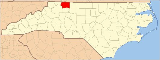
Ararat is an unincorporated community in the Long Hill Township of Surry County, North Carolina. Ararat is situated on, and is named for, the Ararat River (Powell 1968, p. 12). Ararat is along the former Atlantic & Yadkin Railway line from Mount Airy to Rural Hall that is now operated by the Yadkin Valley Railroad. Landmarks near the center of the community include the community post office, fire department and area churches.
Contents
- 10 02 2011 fbad dam at homeplace recreational park ararat north carolina usa
- Map of Ararat NC 27007 USA
- Demographics
- References
Map of Ararat, NC 27007, USA
Demographics
Ararat's Zip Code Tabulation Area (Zip Code 27007) has a population of about 1,339 as of the 2000 census. The population is 50.2% male and 49.8% female. About 93.2% of the population is white, 1.2% African-American, 0.6% American Indian, 6.9% Hispanic, and 4.3% of other races. 0.7% of people are two or more races. There are no Asians, Native Hawaiians or other Pacific Islanders.
The median household income is $39,085 with 7.4% of the population living below the poverty line.
