ISO 3166 code ISO 3166-2:IN | Time zone IST (UTC+5:30) | |
 | ||
Assembly Constituency hajipur assembly constituency (AC.123) | ||
Ararah is a Gram panchayat in Hajipur in the Vaishali district, state of Bihar, India.
Contents
- Map of Arara Bihar
- Geography
- panchayat office
- Nearest CityTown
- Nearest major road highway or river
- Villages in panchayat
- References
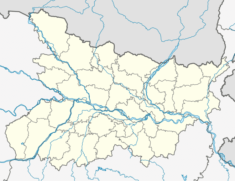
Map of Arara, Bihar
Geography
This panchayat is located at 25°46′37.1″N 85°13′23.1″E
panchayat office
panchayat bhawan ararah (पंचायत भवन ararah )
Nearest City/Town
Hajipur (Distance 4 KM)
Nearest major road highway or river
State highway 74 ( nearest state highway ) And Other roadway
Villages in panchayat
There are villages in this panchayat
References
Ararah Wikipedia(Text) CC BY-SA
