
Comarca Campo de Gómara Municipality Arancón Area 77.61 km² | Judicial district Soria Elevation 1,065 m (3,494 ft) Local time Tuesday 4:34 AM Area code 975 | |
 | ||
Weather 5°C, Wind W at 16 km/h, 73% Humidity | ||
Hasta aranc n soria por el camino romano del agua
Arancón is a municipality in the province of Soria, Spain, located on the foot of the mountain range of El Almuerzo and Mount Cencejo. The localities that form it are Arancón, Tozalmoro, Omeñaca, Calderuela, Nieva de Calderuela and Cortos.
Contents
- Hasta aranc n soria por el camino romano del agua
- Map of 42180 ArancC3B3n Soria Spain
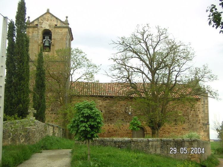
- Aranc n
- Main sights
- Economy
- Flora and fauna
- References
Map of 42180 Aranc%C3%B3n, Soria, Spain
Aranc n
Main sights
Economy
Flora and fauna
Flora includes holm-oak, rivets, steppe, tea, camomile, heather and lavender
Wildlife include wild boar, red deer, roe deer, rabbit, hare and partridge
References
Arancón Wikipedia(Text) CC BY-SA