
Microregion Camaquã Time zone -3 Area 519.1 km² | Founded March 20, 1992 Elevation 5 m Local time Tuesday 12:19 AM | |
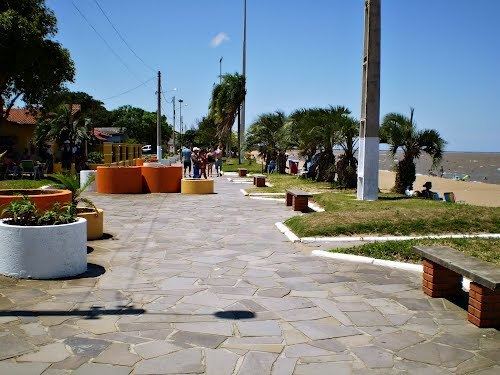 | ||
Weather 26°C, Wind E at 14 km/h, 80% Humidity Points of interest Lagoa dos Patos, Laranjal, Praia das Nereidas | ||
Arambar simplesmente linda wmv
Arambaré is a municipality in the state of Rio Grande do Sul, Brazil. It is bordered by Tapes on the north, Camaquã on the west and south, and Lagoa dos Patos on the east. It is at km 396 of the BR-116, 33 km from Camaquã. It is 156 km from Porto Alegre.
Contents
- Arambar simplesmente linda wmv
- Map of ArambarC3A9 RS Brazil
- Carnaval de arambar rs editado junior azambuja
- References
Map of Arambar%C3%A9 - RS, Brazil
Arambaré, in Guarani, means "priest who shines light." Its origin was the Tape people, who populated the Lagoa dos Patos coast. Later the place was known as Barra do Velhaco and Paraguaçu. Dunas da Lua de Natal and Prainha are two of the baths found in the city.
In summer, tourism is the most important industry. The rural area is known for its rice and livestock.
The city is well known for its Carnaval, when thousands of tourists visit.
Carnaval de arambar rs editado junior azambuja
References
Arambaré Wikipedia(Text) CC BY-SA