Demonym(s) Araguainese Elevation 227 m | Region Norte Founded 14 November 1958 Time zone GMT-3 Local time Monday 11:38 PM | |
 | ||
Weather 24°C, Wind N at 5 km/h, 89% Humidity Colleges and Universities Universidade Federal do Tocantins, Dom Orione Catholic, Instituto Tocantinense President, Faculdade de Ciências | ||
Conhecendo aragua na to 1 parte
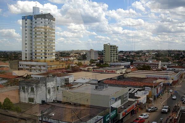
Araguaína is a municipality located in the Brazilian state of Tocantins. Its population was 153 350 (2010) and its area is 4,000.40 km².
Contents
- Conhecendo aragua na to 1 parte
- Map of AraguaC3ADna State of Tocantins Brazil
- Higher education
- Transport
- References
Map of Aragua%C3%ADna, State of Tocantins, Brazil
Higher education
The city has campi from several higher educational institutes.
There are two campi of the public Federal University of Tocantins State (UFT). One in the neighborhood Cimba, which has courses in Portuguese, English, Mathematics, Physics, Chemistry, Geography, History, Logistics, Cooperativism, and Tourism. The other campus is out of the city, which has courses in Veterinary and Zoology.
The city is home to the private faculty ITPAC, an educational institute offering medical, dentistry, and lawyer careers.
Another private faculty is Santa Cruz, which has courses in Law.
The private faculty Facit has courses in Ortodontology, and Software development.
Transport
Public transport in the city is done by the bus companies Cooperlota and Lontra.
The city is served by Araguaína Airport.
