
State Ceará Time zone UTC-3 (UTC-3) Area 1,229 km² Local time Monday 10:47 PM | Founded October 25, 1842 Demonym aracatiense Elevation 5 m Number of airports 1 | |
 | ||
Weather 27°C, Wind NE at 16 km/h, 83% Humidity University Faculty of the Valley of Jaguaribe | ||
Aracati ([aˌɾakaˈt͡ʃi]) is a municipality in the state of Ceará, northeast of Brazil. The population of Aracati is 74,285 (according to the 2010 Census). It is part of the microregion of Litoral de Aracati, which is one of the four microregions that make up the macroregion of Jaguaribe.
Contents
Map of Aracati, Cear%C3%A1, Brazil
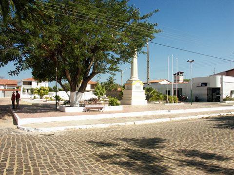
The city center of Aracati was named an important historical site in April 2000 by the National Institute of Historic and Artistic Heritage of Brazil. The city has several colonial-period residences and churches from the 17th and 18th century. The facades of many residential buildings of Aracati have well-preserved examples of azulejo, the blue-white ceramic tiles common to Portuguese colonial architecture.
Transportation
The city is served by Dragão do Mar Airport. It opened as a general aviation airport on August 8, 2012 and has no regularly scheduled flights. Aracati Airport is 6 kilometres (3.7 mi) from downtown Aracati and 20 kilometres (12 mi) from Canoa Quebrada.
Government
Access
Two roads give access to the city: CE-040 and CE-123.
Climate
Aracati has a typical tropical climate. The climate of Aracati is hot almost all year. The temperature in the city varies from 20 to 37 °C.
Media
The city has five radio stations, Canoa FM, Som Zoom Sat, Rádio Plus FM, Rádio Praiana FM and Public Radio.