
State Paraná Elevation 840 m (2,760 ft) Area 548 km² Team Roma Esporte Apucarana | Founded 1944 Demonym(s) Apucaranense Local time Monday 6:22 PM | |
 | ||
Weather 26°C, Wind S at 10 km/h, 63% Humidity Colleges and Universities Federal University of Technology – Paraná | ||
Apucarana brazil
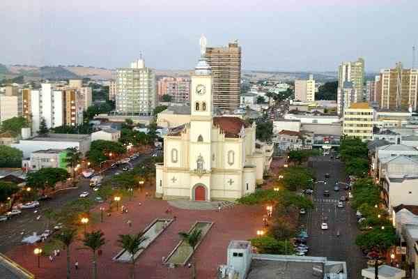
Apucarana is a municipality in the state of Paraná in Brazil. The municipality covers 548 square kilometres (212 sq mi) at an elevation of 840 metres (2,760 ft) above mean sea level. Its 2008 population was estimated as 120,133.
Contents
- Apucarana brazil
- Map of Apucarana ParanC3A1 Brazil
- Tulio araujo feat hercules gomes apucarana
- Transportation
- Economy
- Culture
- Religion
- References
Map of Apucarana, Paran%C3%A1, Brazil
Tulio araujo feat hercules gomes apucarana
Transportation
The city is served by Cap. João Busse Airport which is located 10 kilometers (5 nautical miles) southeast of Apucarana.
Economy
In agriculture, the city stands in production of coffee, soy, beans and corn. The industry stands out for leather production (3% of Brazil's total) and the manufacturing of caps (80% of production in Brazil).
Culture
The city received thousands of immigrants from Portugal, Ukraine, Poland, Germany and especially from Japan (who did strong influence in culture like in the Buddhist religion and the amount of cherry trees planted - the city has more than 20,000 sakuras and annually do the "Cherry Festival" to celebrate the Japanese culture).
source : PARDES 2010
Religion
The city is the seat of the Roman Catholic Diocese of Apucarana.
Congregação Cristã no Brasil