
Country United States GNIS feature ID 1275817 Zip code 37302 Population 2,469 (2010) | Time zone Eastern (EST) (UTC-5) Elevation 262 m Local time Monday 7:41 AM Area code 423 | |
 | ||
Weather 4°C, Wind W at 2 km/h, 73% Humidity Area 38.38 km² (38.36 km² Land / 1 ha Water) | ||
Apison is an unincorporated community and census-designated place (CDP) in Hamilton County, Tennessee, United States. It is a rural area east of the city of Chattanooga, and borders Ooltewah, Collegedale, and north Georgia to the south. It is part of the Chattanooga, TN–GA Metropolitan Statistical Area. As of the 2010 census, its population was 2,469.
Contents
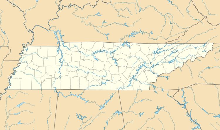
Map of Apison, TN 37302, USA
Apison is fifteen miles from Enterprise South Industrial Park, the location of Volkswagen North America.
In 2001, the old Apison Elementary School was turned into a Tres Dias retreat center.
On April 27, 2011, a tornado that was part of the April 25–28, 2011 tornado outbreak killed eight people in Apison.
History
In 1881 the railroad came through a small settlement, now known as Apison, that had previously had its mail delivered by horse and buggy. The town then was known as O'Brian that was assigned by the railroad officials. The name was later changed because of another Tennessee town already having the same name. Due to the large deposits of Apison shale rock found along the railroad tracks, the town was renamed to its current name.
Popular culture
Apison was depicted in the X-Files episode "The Field Where I Died."
Education
Apison Elementary School is located at 10433 East Brainerd Road. Middle school and high school students may attend either East Hamilton or Ooltewah Middle School/High School.