
Admin. region Oberbayern Time zone CET/CEST (UTC+1/+2) Area 16.19 km² Population 3,591 (31 Dec 2008) Dialling code 08121 | Postal codes 85646 Local time Monday 8:23 AM Postal code 85646 Administrative region Upper Bavaria | |
 | ||
Weather 1°C, Wind SE at 3 km/h, 83% Humidity | ||
Anzing is a municipality in the Upper Bavarian district of Ebersberg.
Contents
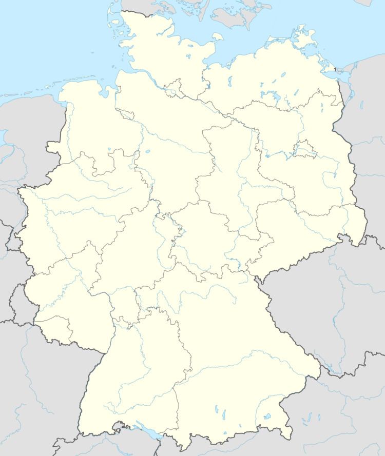
- Map of Anzing Germany
- Municipal divisions
- History
- Municipal council
- Mayors
- Coat of arms
- Transport
- Businesses established in town
- Famous people
- References
Map of Anzing, Germany
Municipal divisions
Constituent communities include Anzing, Auhofen, Boden, Froschkern, Frotzhofen, Garkofen, Hl. Kreuz, Höggerloh, Kaisersberg, Köppelmühle, Lindach, Mauerstetten, Obelfing, Oberasbach, Ranharting, Ried, Staudach, Unterasbach and Ziegelstadel.
History
In 812, the community had its first documentary mention “in loco anzinga”. It belonged to the Rentamt of Munich/Court District of Swabia. Under administrative reforms in Bavaria in 1818, Anzing became an autonomous community.
Municipal council
The current council consists of 16 councillors from 6 groupings:
Mayors
Coat of arms
Anzing’s coat of arms might be described thus: In Or a lion rampant sable armed and langued gules, above which two crossed lily staffs (Lilienstäbe in German) azure.
Transport
Anzing has an interchange with Bundesautobahn 94, which will lead from Munich through Mühldorf am Inn to Passau, although as yet (May 2007) it is only partly finished. Anzing lies only about 22 km east of the state capital, Munich, 18 km south of Erding, 34 km from Munich airport and 14 km from Ebersberg.
Businesses established in town
and many other regional businesses.
Famous people
Sepp Maier, FC Bayern goalkeeper and for many years federal goalkeeping trainer is known as the Katze von Anzing – the Cat from Anzing.
Gsindl, Bavarian rock band.