Country United States FIPS code 35-03970 Elevation 1,926 m Population 54 (2010) | Time zone Mountain (MST) (UTC-7) GNIS feature ID 2585647 Area 144 ha Area code 505 | |
 | ||
Anzac Village is a census-designated place (CDP) in Cibola County, New Mexico, United States. The population was 54 at the 2010 census.
Geography
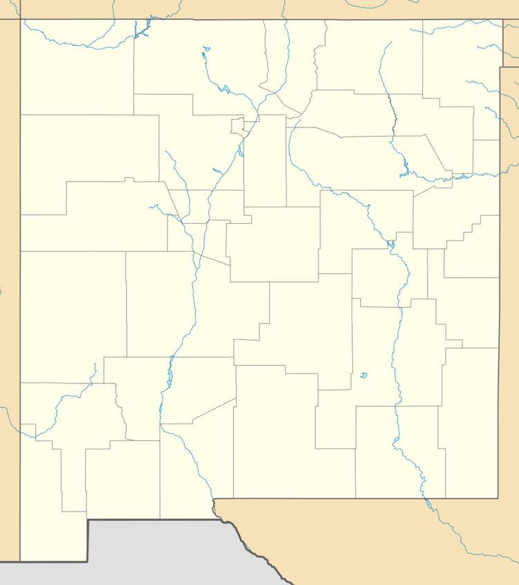
Anzac Village is located in northern Cibola County at 35°3′36″N 107°44′31″W, in the northwest corner of the Acoma Indian Reservation. It is bordered on the north by Anzac Road in the valley of the Rio San Jose; the road connects with Historic U.S. Route 66 to the east and west.
According to the United States Census Bureau, the CDP has a total area of 0.56 square miles (1.44 km2), all land.
References
Anzac Village, New Mexico Wikipedia(Text) CC BY-SA
